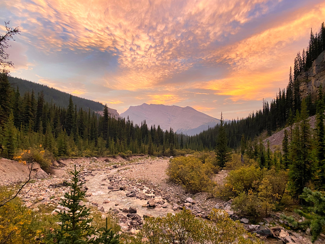
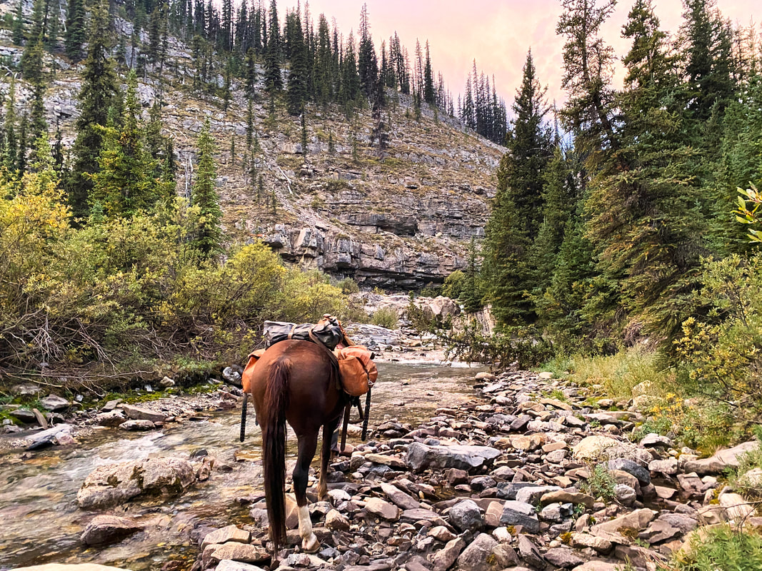
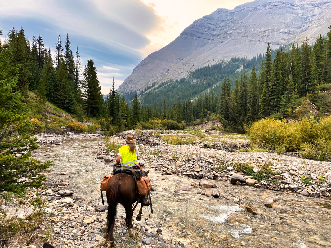
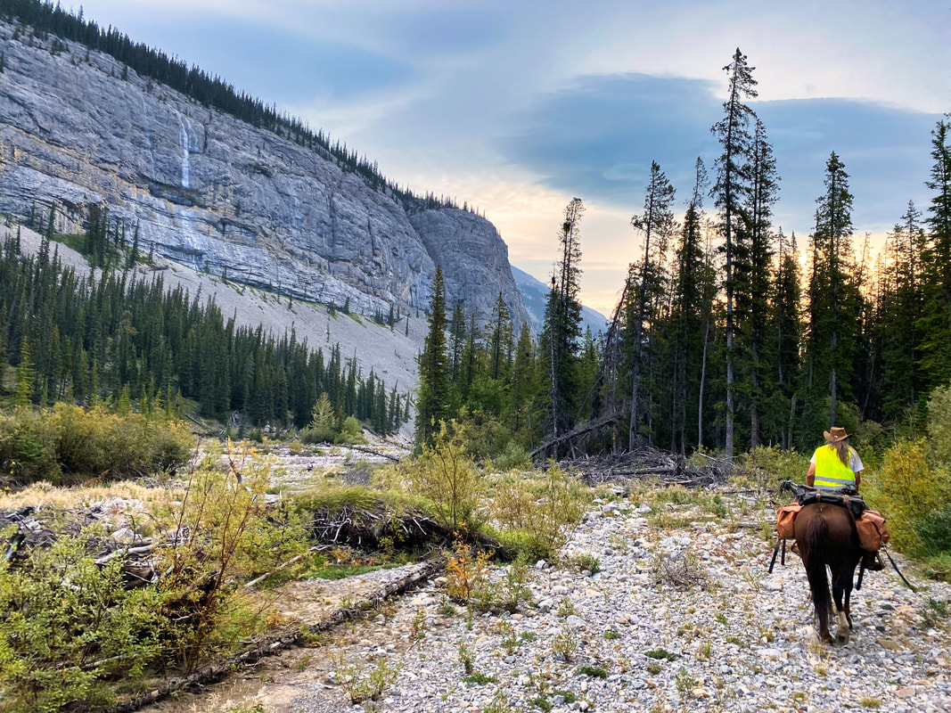
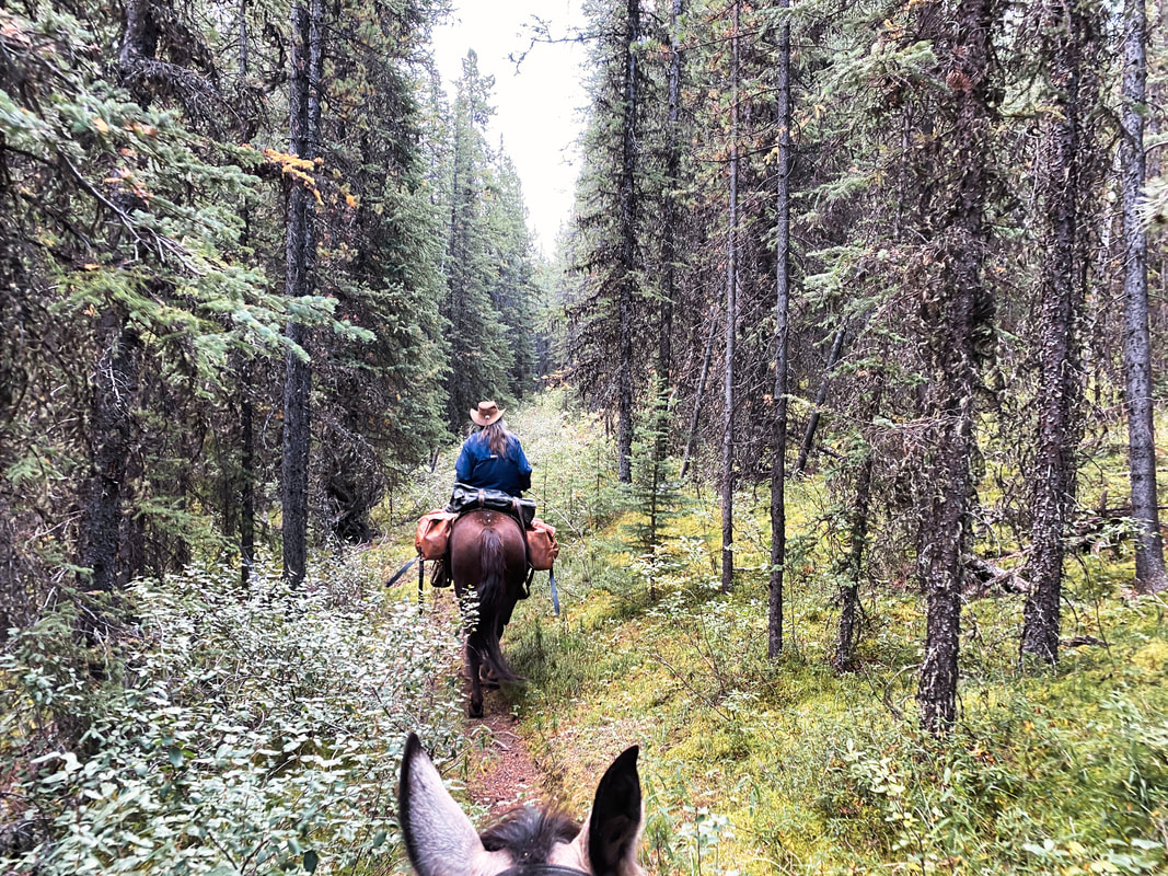
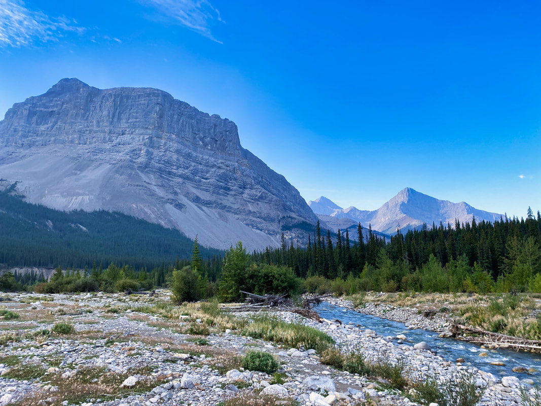
      | Day 11, Jasper to Saskatchewan Crossing leg. Up before first light, packed up and on the trail in just shy of an hour. Weather has been great and no threat of rain, so we’d slept under the stars. Not setting up the tarp definitely saved us time. I wore my headlamp to better see the trail in the early morning light. We worked our way through a few dense willow patches. Early morning, poor light, grizzly country and feeding time. I’ve gotta admit I was nervous, hollering “YO BEAR!” on a regular basis. I told Peter it was because of my allergies. I’m allergic to bears chewing on me. He seemed to understand. We steadily worked our way approximately 14km through willows and down the Cairn River to the Cairn River camp site. The next 9km to Southesk junction would have been pretty easy if it wasn’t an old burn. Parts were cleared and many parts weren’t. Navigating the deadfall and new growth really slowed us down. Each spot of deadfall was like its own unique puzzle of how to get through: left, right, over, under or cut. Peter put on a deadfall puzzle-solving Masterclass. “I think if we go right, cut this one, over these two and under that one, we’ll be through.” Sure enough, it worked. My pack saw got a good workout today! Eventually we got to the Southesk junction, which is where we’d turn off the South Boundary trail, stay headed south and into the unknown of the Blackstone/Wapiabi PLUZ (Public Land Use Zone). Good trail and reasonably well signed; there was even a sign saying “Dowling Ford”, which is where we’d cross the Brazeau. But when we got there, the river was running very high, wide and fast. There was no way we could cross at this particular point. We scouted up and downstream for quite some time looking for a reasonable spot to cross, to no avail. Now I knew why there was so little information on the Blackstone/Wapiabi – crossing the mighty Brazeau! Funny that was the one thing nobody mentioned. OK, now what?! We could turn back the way we came and go out that way, which really didn’t sit well with either of us, or we could continue on the South Boundary Trail and out over Nigel Pass. Three problems with that option. First, we’d still have to cross the Brazeau River eventually and the old, long-standing horse bridge upstream had been taken out by spring flooding earlier in the year. Second problem was we had no JNP camping, or grazing permits booked. Finally, the Nigel Pass trailhead was on Highway 93 where the Adventure Rig wasn’t permitted. It didn’t take us long to agree on a strategy of “’tis better to beg forgiveness than ask permission”; we chose the South Boundary option. We messaged Peter G and Tina via Garmin InReach advising them of the change in plans and updated meeting place. Then we continued down the South Boundary Trail for a bit before setting up a bush camp and sleeping under the stars, once again. Today had been a long day: 36.5km travelled and over 12 hours on the trail, including lunch & grazing breaks, deadfall puzzle solving, route finding and scouting possible river crossings. Tomorrow should be better. Meanwhile, back in Jasper, Tina and Peter G had a front row seat for a Canadian wildfire experience. A fire east of Jasper, caused by lightning strike the day before, grew exponentially as high winds fanned the flames. |
 RSS Feed