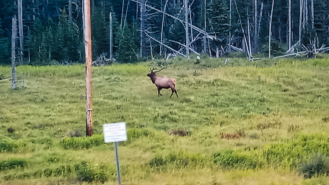
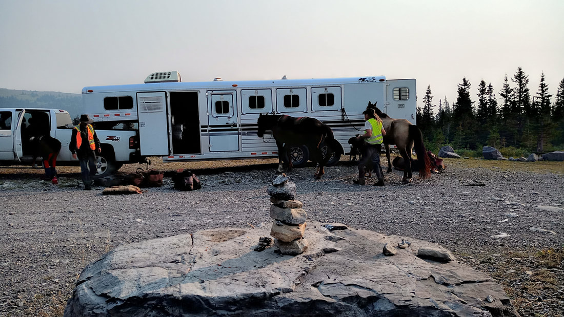
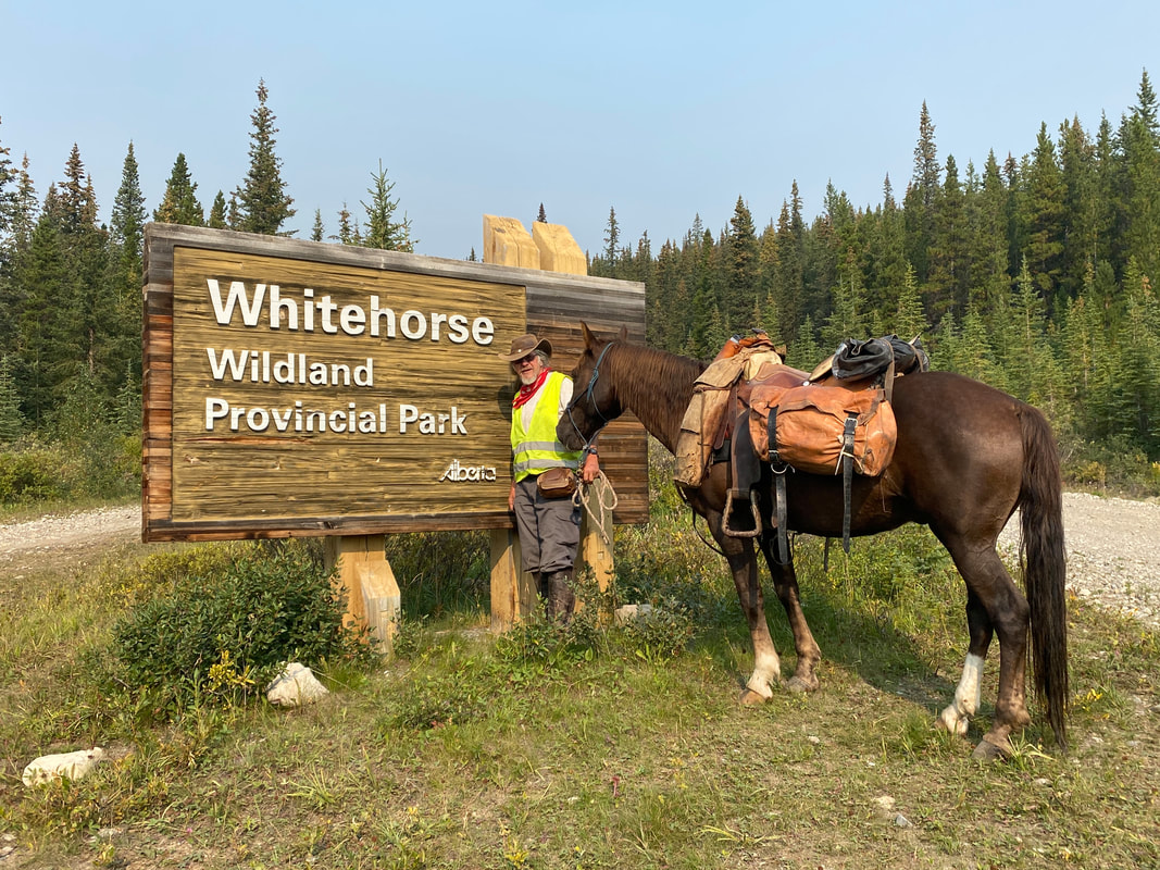
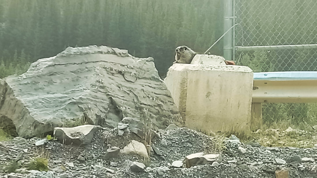
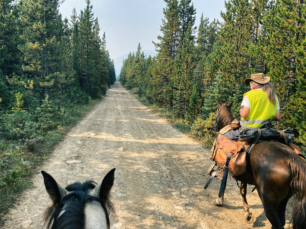
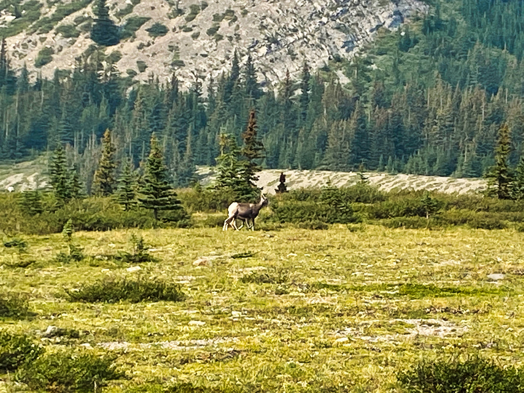
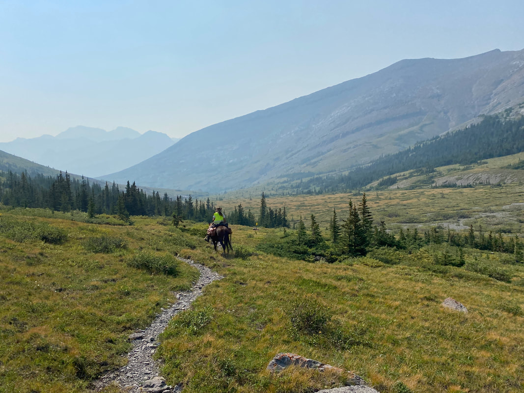
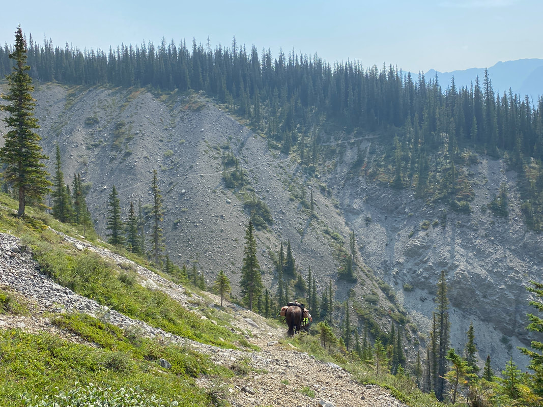
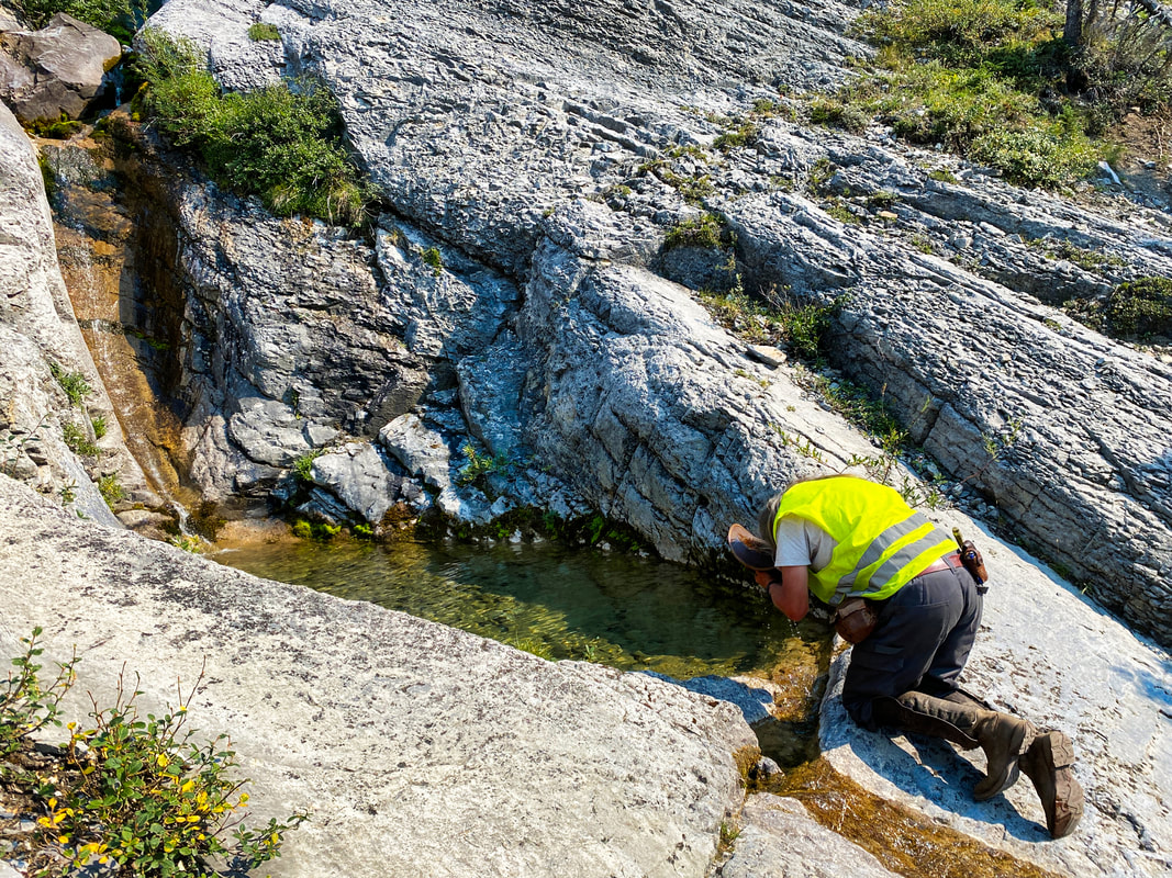
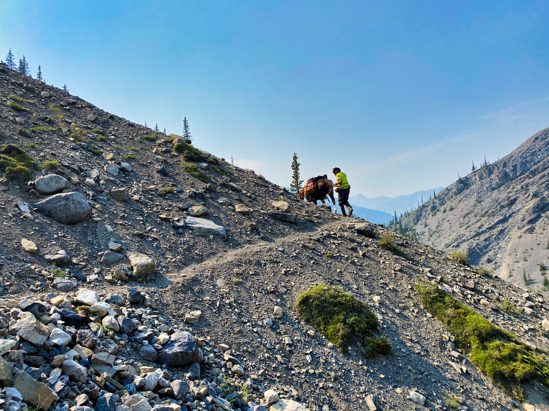
          | Day 10, Jasper to Saskatchewan Crossing leg. Of all the legs of our adventure, this one had been the toughest to plan. Our original hope was to ride as much as possible, limiting our shuttle distance in the truck and trailer, a true through-ride. Unfortunately, there were places horses weren’t allowed. The Skyline trail from Jasper to Maligne Lake was one of those areas. This trail is the most popular trail in Jasper National Park. In Spring, when they open campsite registrations, I’ve heard from several sources that there are usually between 18,000 to 25,000 outdoor enthusiasts attempting to book camp sites for the upcoming year. Yikes! I guess JNP are attempting to eliminate hiker/horse confrontations or issues. Ok, no problem, we’ll just shuttle up to Maligne Lake and ride from there, up over Maligne Pass, through Poboktan and down the South Boundary Trail. Turns out that was a Nope, too. JNP had closed Maligne Pass to horses, as well as all other access routes to Maligne Lake and Maligne Pass. Hard NO! The other issue was vehicle restriction on Highway 93: • Vehicles exceeding 4550 kg gross vehicle weight are not permitted to travel on Highway 93 North between Jasper and Lake Louise. Buses and recreational vehicles are permitted regardless of weight. • Operating a vehicle that exceeds the maximum gross vehicle weight is an offense under the National Parks General Regulations of the Canada National Parks Act and results in an automatic court appearance. Fines are levied through the court process. This was one thing Tania had emphasized when I spoke with her regarding our trip; as well, she mentions it in her book, Pack Em Up Ride Em Out. Her conclusion was max rig size was truck and 2-horse steel trailer, or truck and 3-horse aluminum. The Adventure Rig was truck with 4-horse aluminum trailer, and just over the max gross vehicle weight. If we were to play 100% on-side with the rules we couldn’t travel down Highway 93, which eliminated several access points and route options. Finally, after several calls with JNP, in a moment of frustration, I asked, “Look, you’ve done an amazing job at telling me everything we CAN’T do, what CAN we do?!” The answer, South Boundary Trail. We could trailer out of JNP, turn south into Whitehorse Wildland Park and stage from the Cardinal Divide Staging Area. From there, we could ride over Cardinal Pass (aka Rocky Pass), into Jasper National Park and onto the South Boundary Trail. Great! That’s what we’ll do. One final wrinkle. Because of the Highway 93 restriction we couldn’t finish at the end of the South Boundary Trail since it ended on Highway 93. If we were gonna play by the rules, our Adventure Rig driver, Peter G, couldn’t drive up there to pick us up. So, our plan was to leave the South Boundary Trail early and keep heading south out of the Jasper and down through the Blackstone/Wapiabi Public Land Use Zone (PLUZ). Of our entire route, this section was by far the most challenging area to get trail information on. While there were trails showing on online Alberta .pdf maps, there were no GPS trails available through Garmin or other GPS apps. We had to approximate it and hand-bomb our route into the GPS. Additionally, the only information we could get regarding trail conditions wasn’t good: not cleared in years, tons of deadfall, don’t know anyone who’s gone through there, and really bad bog were phrases that kept coming up. Ugh! You still with me?! Let’s saddle up and hit the trail. Up early again and loaded Rodeo and Charlie into the trailer for the drive to the trailhead. Ahi’s leg was still swollen and sore, so he wasn’t in condition to continue. Tina would stay behind to coordinate a vet appointment, medication and treatment program so he could rejoin us later in our journey. She and Peter G would hang out at Entrance Ranch and do the Jasper tourist thing while Peter and I rode this leg of the journey. Unfortunate. I felt bad for Tina, but if there was a Leg to miss, this was it, as it was the shortest. After the drive, saddling up and saying our goodbyes at the trailer; Peter and I were on the trail by 10:30AM. Short, boring descent down the Forest Service Road, then turned onto a decent trail and continued on reasonably flat, decent trail before climbing a quick 200 metres up Cardinal Pass. It was easy to see what it was also know as Rocky Pass. At the top, we saw a lone mama sheep and her baby. First wildlife we’d seen on the trail. After, surprisingly, seeing none on the last leg, this was a good start! We dropped down into the Medicine Tent River valley and an elevation around 1700m, then followed the river, climbing steadily for the next 14km to the top of beautiful Cairn Pass (2248m peak elevation). From there, we’d descend 250m to our camp at Cairn Pass Horse Camp. A long day and 33km on the trail full of great weather and fantastic views. Tomorrow, we planned to hit the trail early, cover a lot of ground, get out of JNP and set up camp, setting the stage to take on the unknown of the Blackstone/Wapiabi PLUZ. |
 RSS Feed